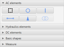
There are 3 types of geometry in GIS: point, polyline, polygon. Once the user has chosen the type of element he wants to add, choosing one of the elements in the toolbar and clicking on the map area will start drawing the according shapes. It is advised to use the buttons in the main toolbar, as using them will automatically select the needed layers.
NOTE: A layer must be chosen (in the layers list) before drawing on the map, otherwise user will be prompted to create a new layer or use a default layer for the selected element.
Points will be added instantly, whereas polylines require at least 2 points and polygons require at least 3 points to display the geometry.
Once the geometry of the feature has been set up, user may add data to the feature. The attribute fields will be the ones that were defined in the „Setting up layers“ stage or those which are defined by the default layer.